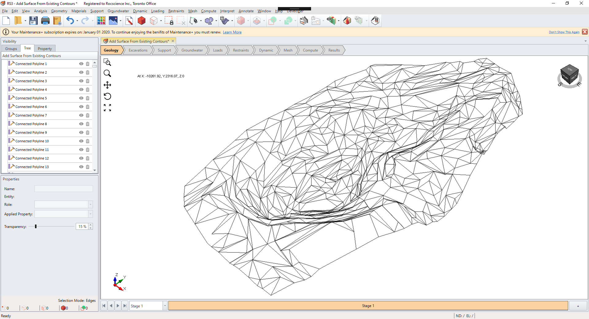
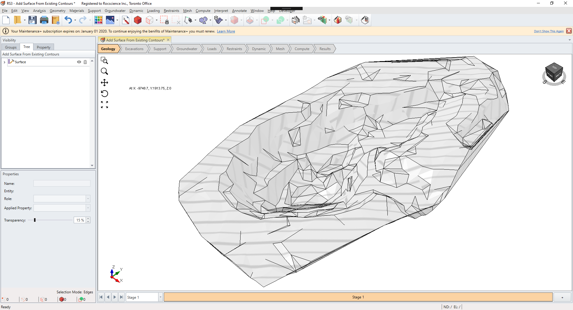
Add Surface From Existing Contours
The Add Surface From Existing Contours tool allows you to create a terrain-like surface from a set of lines. This is a common feature in 3D CAD tools that have 3D scans stored as elevation contours for surface reconstruction. To use the tool:
- Select the Geology
 workflow tab.
 - Select the desired polylines from the Visibility Tree or the 3D View.
- Select: Geometry > Surface Triangulation Tools > Add Surface From Existing Contours