Settle3
3D Soil Settlement and Consolidation Analysis Software
Performs immediate, primary, and secondary consolidation for foundations and embankments, while analyzing multiple CPTs and liquefaction using diverse methods.


Settle3 Across Applications
Embankments
Model your embankments with full flexibility, adding cross sections, multiple layers, and user-defined staging sequences. Define the shape in 2D and extrude in 3D with user-defined end angles.

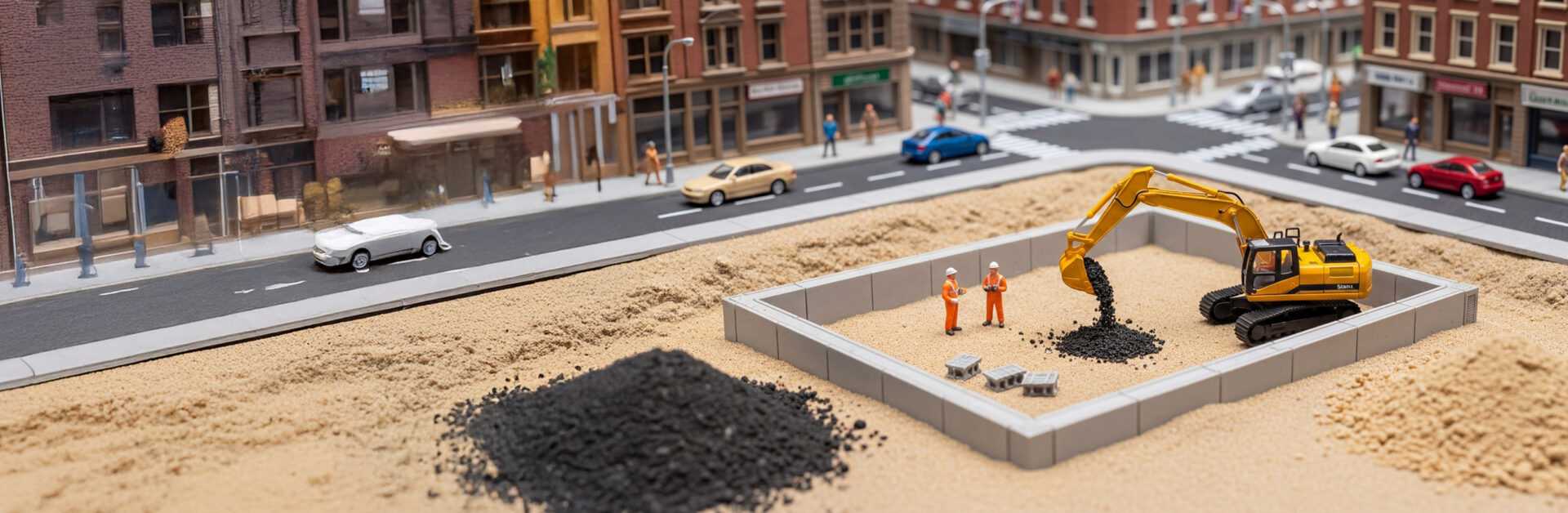
Foundations
Apply foundations as loads with flexible or rigid footing. Define various shapes, loads per vertices and staging sequences. You can also import multiple loads from structural software programs such as SAFE.

Ground Improvement
Apply ground improvement regions with respect to different loading conditions. Use soil replacement, vibro-compaction, or stone columns for foundation design. Wick drains and stone column drainage options accelerate consolidations in your analysis.


The Latest Features


Grow With Our Learning Resources

article
Capturing Non-Horizontal Surface Loads using Settle3

article
Missing CPT Data Points? Not a Problem For Settle3

article
Mastering Settle3: Primary and Secondary Consolidation
Settle3
Get Settle3 today. Choose your license below:
Personal Lease
- One Seat
- One User Device
- Cloud-Hosted Licensing
- Managed in the RocPortal
Flexible+ Lease
- Multiple Seats
- Unlimited User Devices Per Seat
- Cloud-Hosted Licensing
- Managed in the RocPortal
Have questions about our pricing structure? View Plans & Pricing FAQ