Select Scene Region of Interest Overview
Select Scene Region of Interest allows to confine the reconstruction area to a Region of Interest (ROI). The definition of the Region of Interest is optional. It is skipped by clicking the “Next” button. If no ROI is defined, the entire 3D point cloud of the Coarse Reconstruction is used for Dense Reconstruction.
User interface
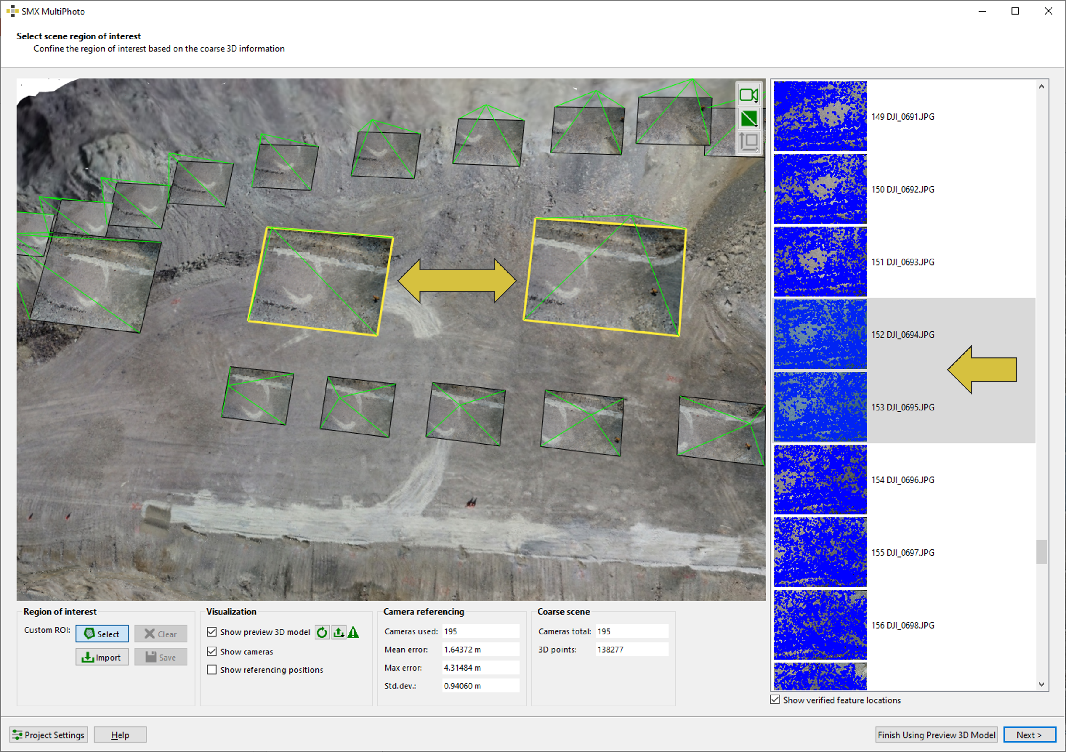
The user interface includes the features shown below. It consists of a 3D viewer displaying the coarse point cloud and a preview of the textured 3D model, along with the corresponding camera and GNSS positions. The panel on the right lists the images used for the Coarse Reconstruction. Camera referencing information is available only if positional data exists (e.g., EXIF data or imported coordinates). It also provides the number of points used for referencing and relevant statistical parameters.
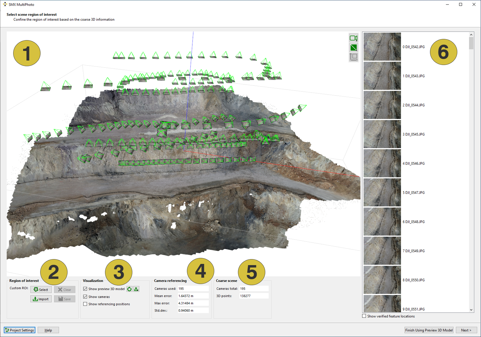
- 3D viewer with point cloud and cameras
- Features for defining the ROI
- Visualization in the 3D viewer
- Camera referencing
- Information of the coarse scene
- List of images
Features
Region of Interest
The following functions are available for creating a Custom ROI using a user-drawn polygon:
- Select
 - Activates the drawing mode
 - Clear
 - Clears the defined ROI
 - Import ROI
 - Imports a ROI (“.xml” file)
 - Save ROI
 - Saves the current ROI to an “.xml” file
Visualization
- Show preview 3D model - Shows/Hides the coarse 3D model in the viewer by enabling/disabling the checkbox
- Update
 - Updates the coarse 3D model to the outlined ROI
 - Export
 - Exports the preview 3D model to ”.jm3x” or “.obj”
 - Show cameras - Shows/hides the position of the camera in the 3D viewer by enabling/disabling the checkbox (green pyramids)
- Show referencing positions - Shows/hides the position of the GNSS measuring points in the 3D viewer by enabling/disabling the checkbox (green speres)
Camera Referencing
- Camera used - Number of camera position used for referencing
- Statistics - Includes Mean Error, Maximum Error and Standard Deviation
Coarse Scene
- Cameras total - Number of camera positions (images) used for generating the scene
- 3D points - Number of 3D points of the coarse scene
General
- Project Settings
 - Allows to adapt the export settings of the current project (generation of the reconstruction report, ortho-photo, GeoTIFF and “.obj” export).
 - Help - Opens the user manual
- Finish using preview 3D model - Skips the Dense Reconstruction. The coarse 3D model is saved as “jm3x” and is ready for referencing in a final step
- Next - Continues to the Dense Reconstruction
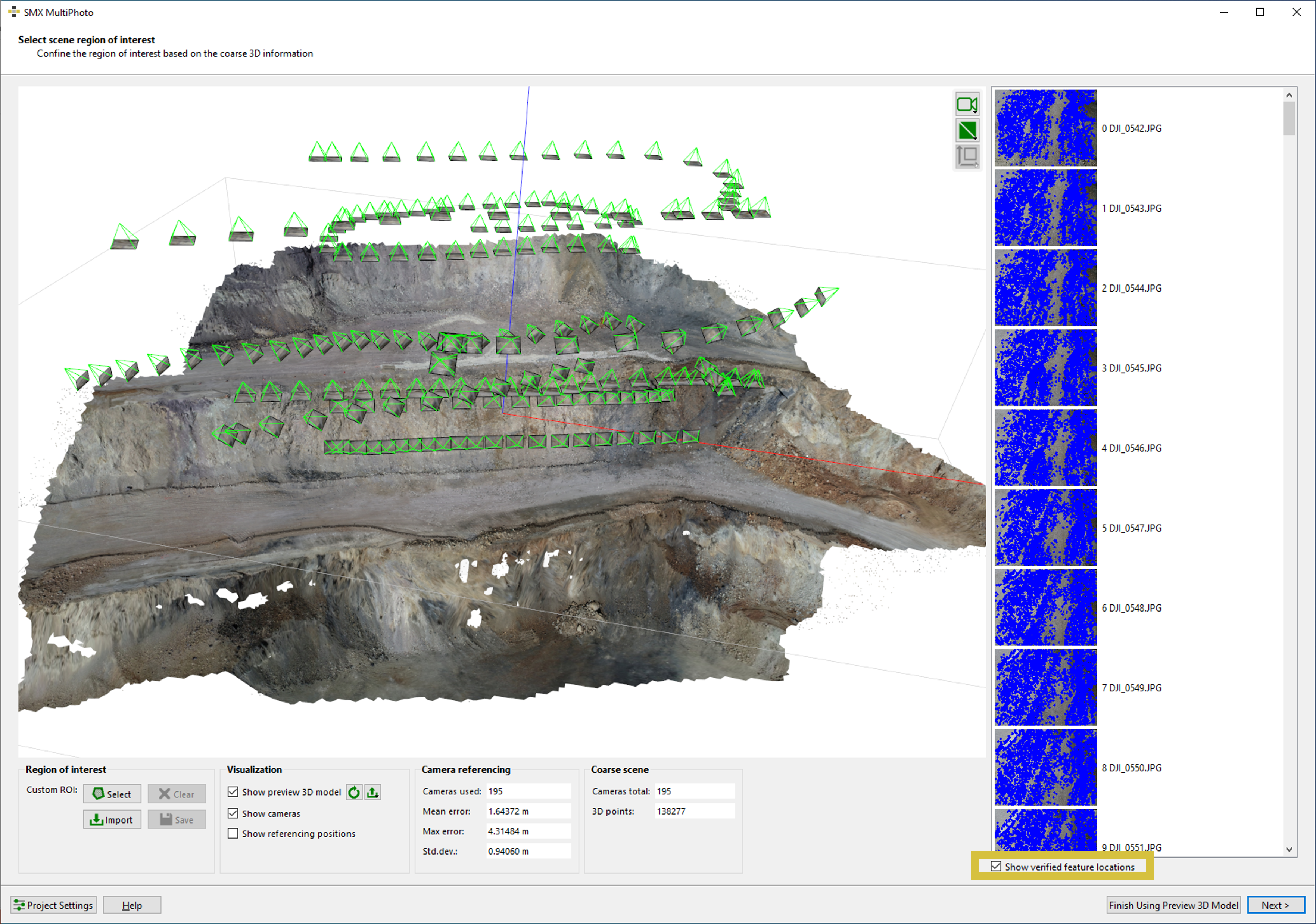
- Show verified feature locations - Shows/hides feature locations in the individual images