One Range Pole Mode
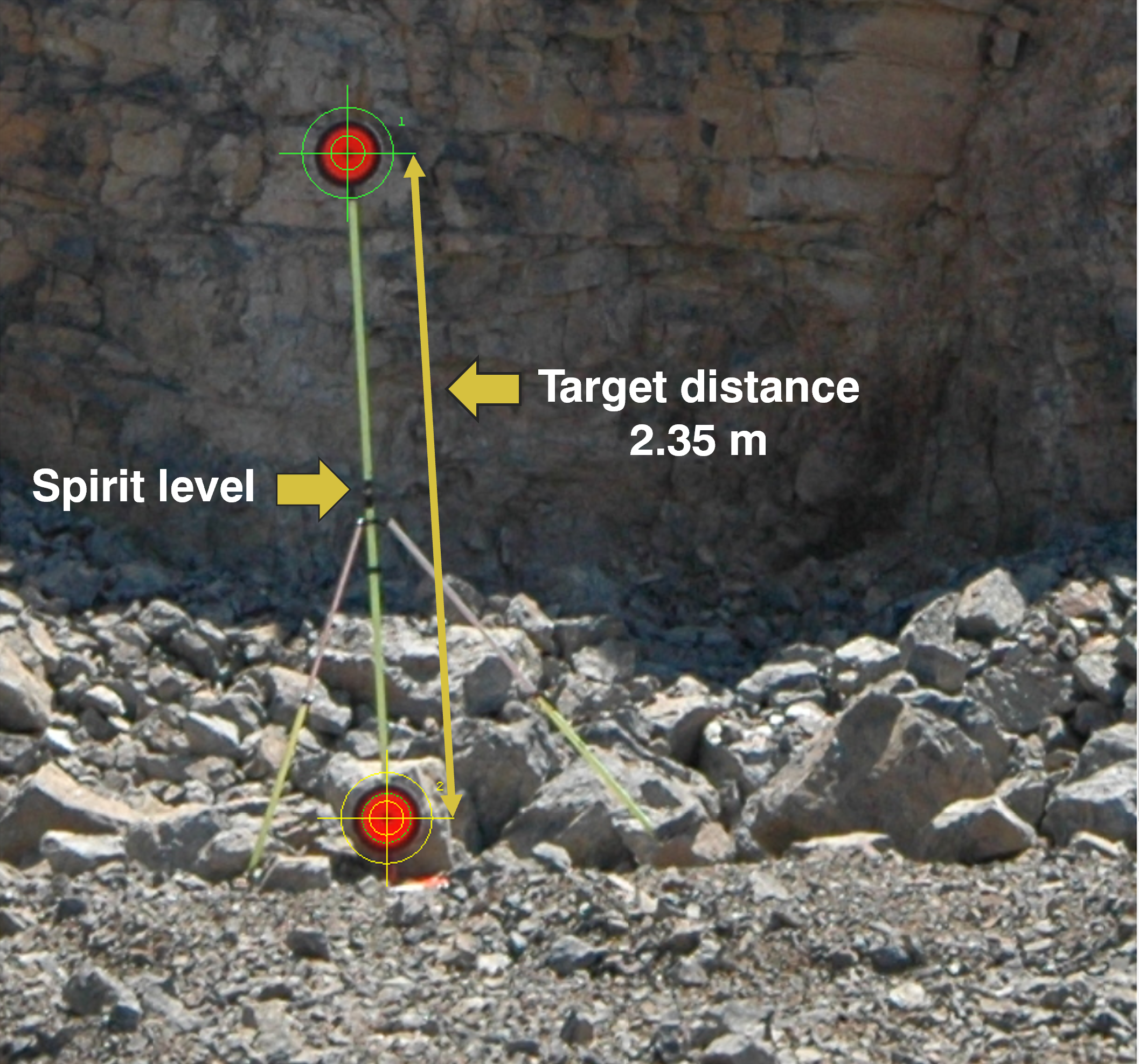
The One Range Pole Mode changes the geometry of the generic 3D model into a metric 3D model. It relies on a vertically installed Range Pole with two targets. The distance between targets must be known and serves as the scaling distance. It is necessary that the Range Pole is visible in at least two images within a 3D model.
North Correction
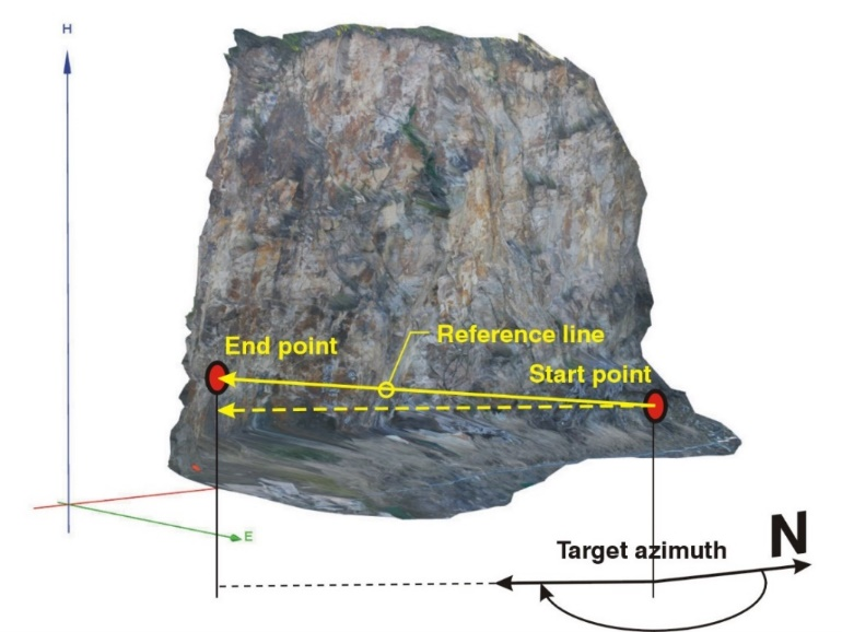
The 3D model can be orientated to North using the One Range Pole Mode with Reference Line. The mode is used to scale and rotate a generic 3D model into its correct vertical and horizontal orientation. The rotation of the 3D model about its vertical axis is based on the measured azimuth (geographic direction) of a reference line in the field, the so-called target azimuth. The Reference Line in the 3D model is defined by two points - Start Point and End Point - while the direction of the Reference Line points from start to the end point.
Surveyed Control Point (optional)
This mode is also used to shift the 3D model to a position in space using a surveyed Ground Control Point (GCP). The GroundControl Point be an artificial target or natural or marked points on the rock face. Co-ordinates (Easting, Northing, Height) must be known for using a GroundControl Point.