Add Surface from Points
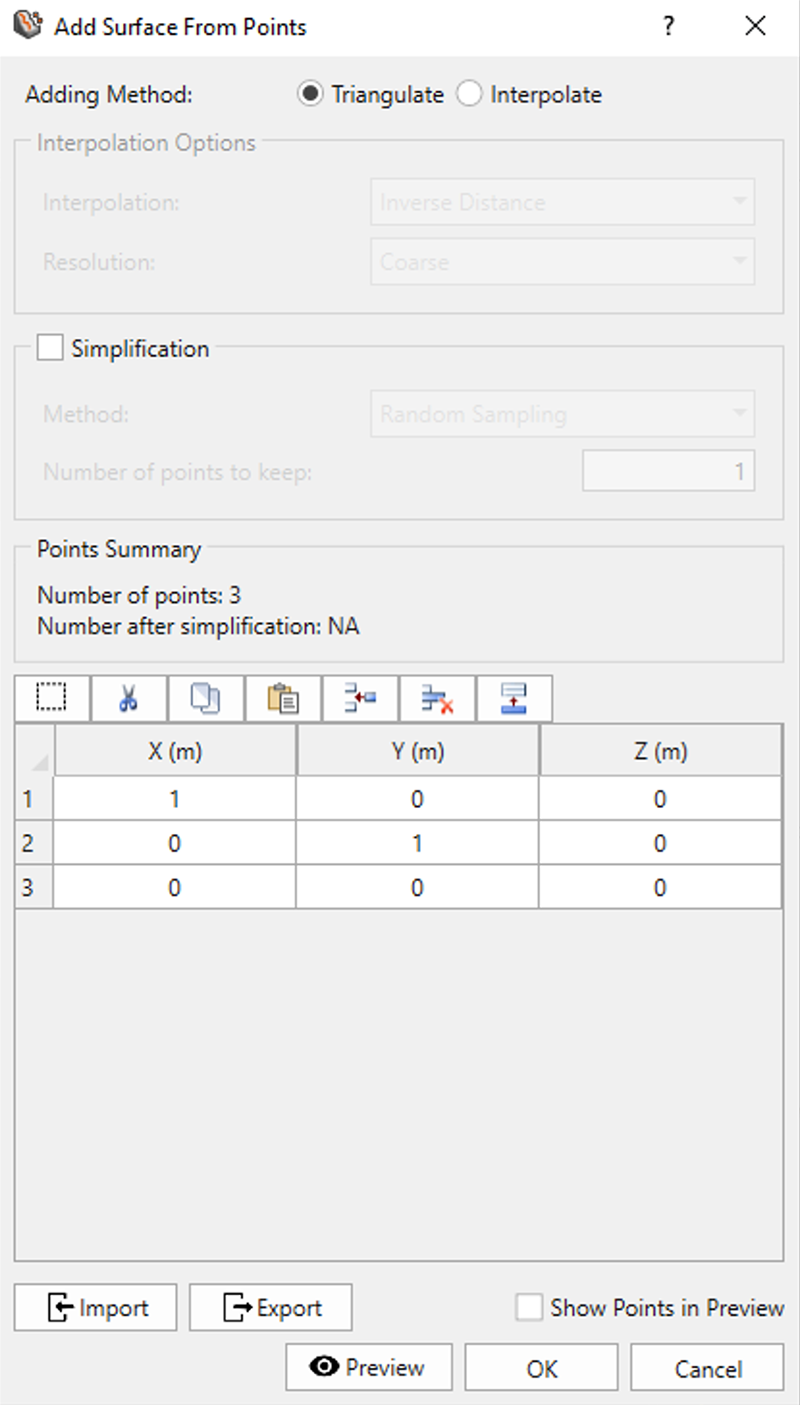
The Add Surface From Points option allows you to create a terrain-like surface from a file that contains geometries such as surfaces, lines and points. This is a common feature in a 3D CAD tool that has 3D scans stored as a point cloud for surface reconstruction. This particular command has a subtle difference from Add Surface From Existing Points where the table (shown below) is populated with a triangle at first and is enabled for either editing or importing from files.

File types include:
- Text Files (*.txt)
- Comma Separated Values Files (*.csv)
- XYZ Files (*.xyz)
- ASC Files (*.asc)
- LAS Files (*.las)