Slide3
3D Limit Equilibrium Analysis Software
Solves challenging 3D slope stability models effortlessly, offering all the features of Slide2 plus advanced 3D modelling.

Slide3 Across Applications
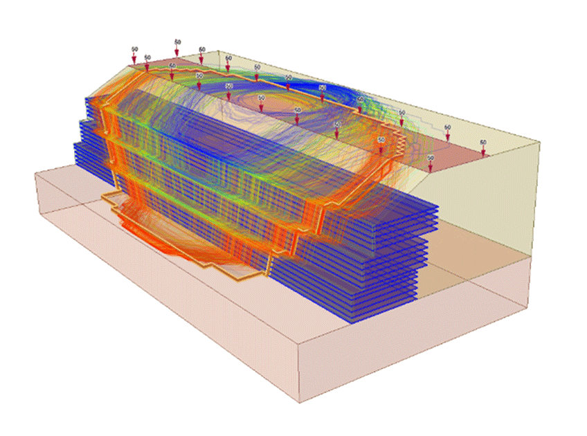
Dams & Embankments
Slide3 excels in modelling dams and embankments with features like rapid drawdown, complex pore pressure distributions, non-linear material models, and unsaturated strength. It’s used extensively for hydroelectric and tailings dams, and you can link to RS3’s powerful steady-state and transient groundwater analyses to accommodate any pore pressure conditions.
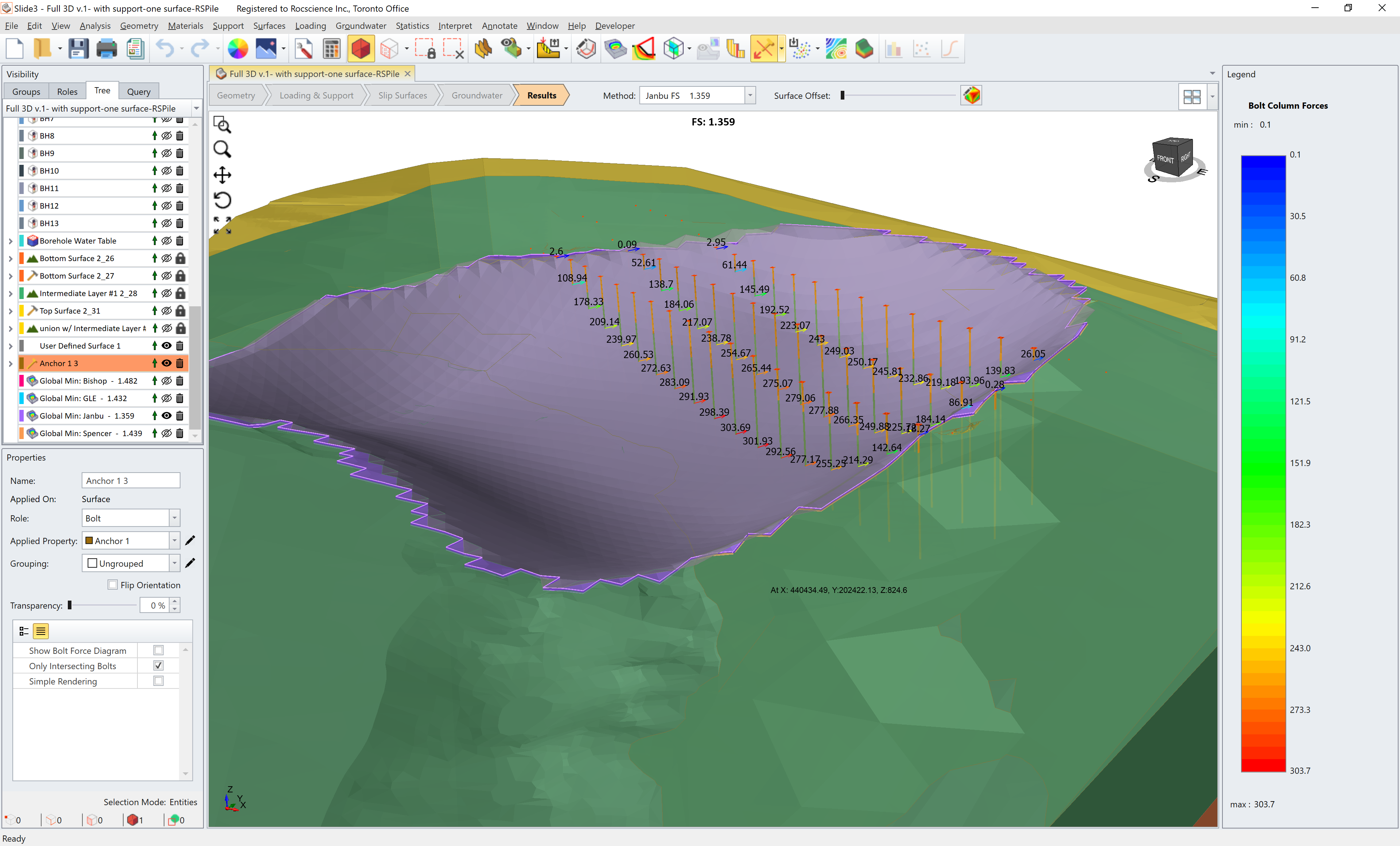
Retaining Walls
Model retaining walls effortlessly with Slide3’s extensive support library. Define supports individually or through user-defined patterns. You can also easily add geogrids to a model using the Excel import feature, allowing you to define hundreds of individual geogrids.
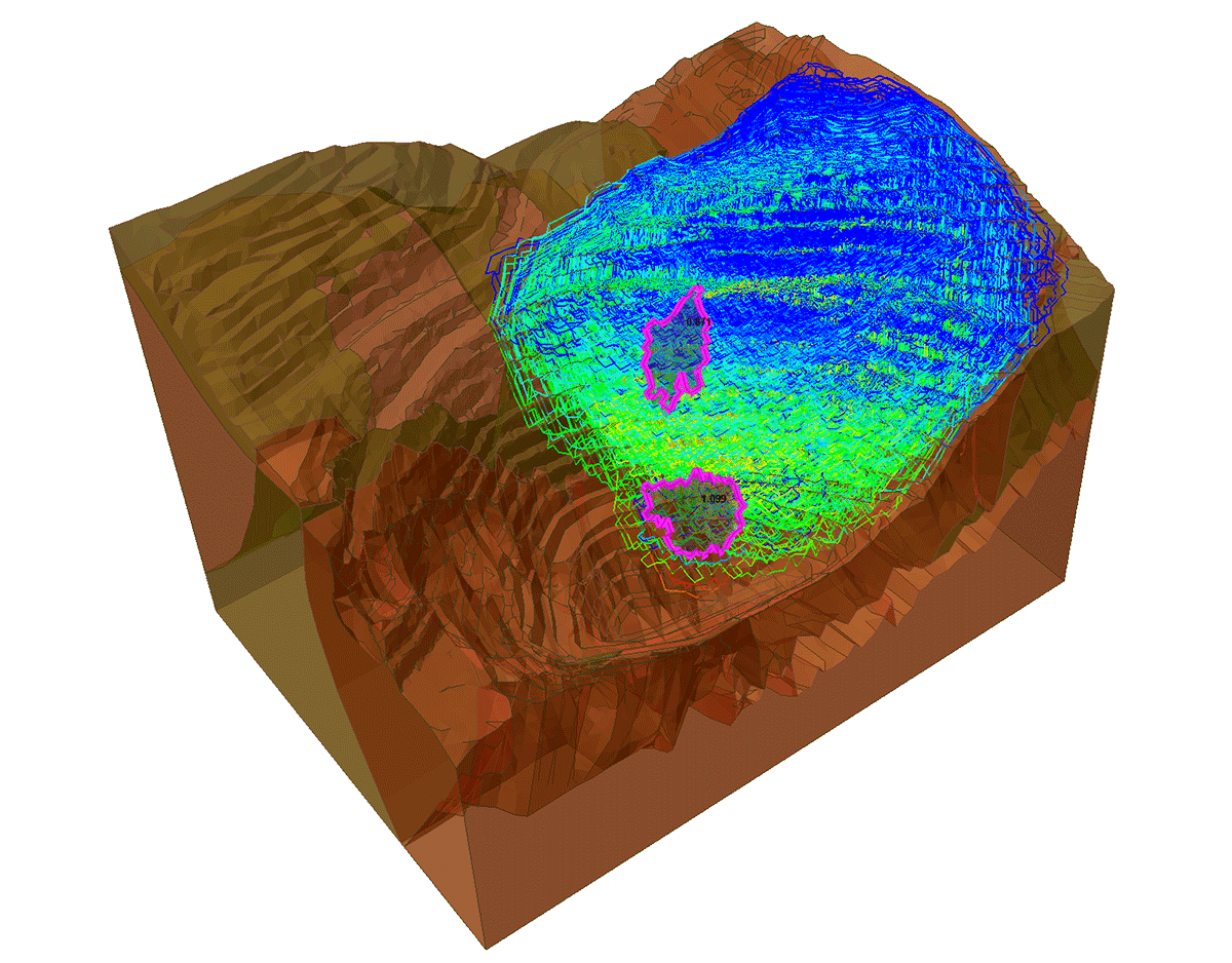
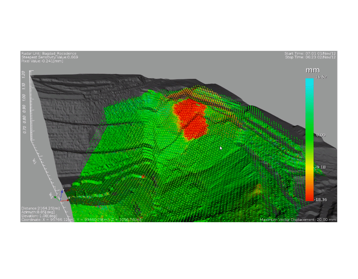
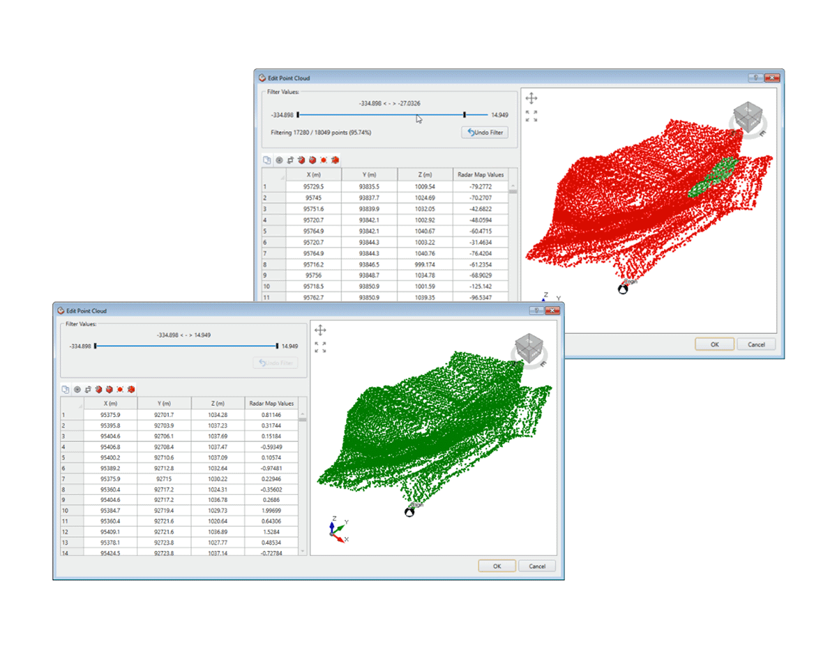
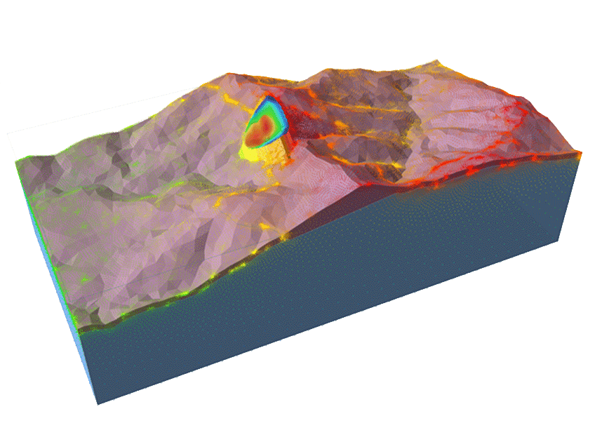
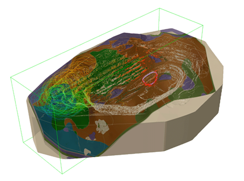
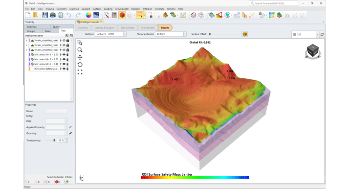
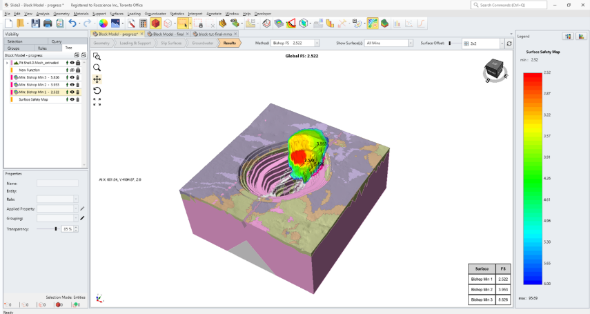
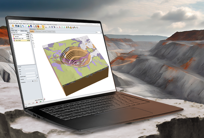
Open-Pit Mining
Slide3’s ability to import surface, point cloud, and block model data make it very easy to construct open-pit slope models. Built-in display of radar displacement data, in conjunction with surface safety maps, make it a comprehensive tool for monitoring and calibrating pit wall stability problems.
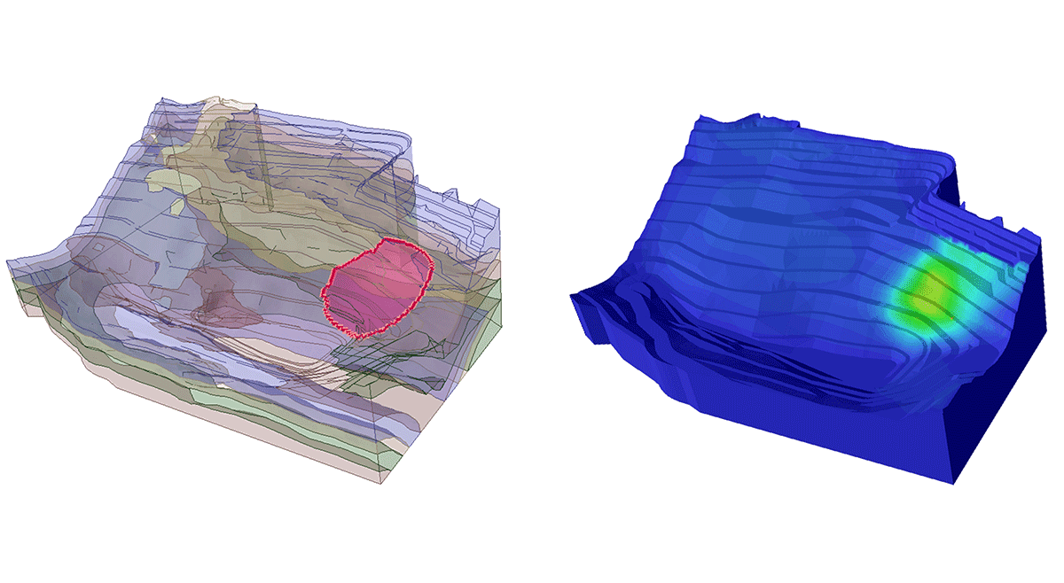
Rock & Soil Slopes
Designed for both rock and soil slopes, Slide3’s comprehensive material library has models for rock (Mohr-Coulomb, Generalized Hoek-Brown, Barton Bandis, Anisotropic) and soil (Mohr-Coulomb, SHANSEP, Vertical Stress Ratio, Power Curve, Shear-Normal).
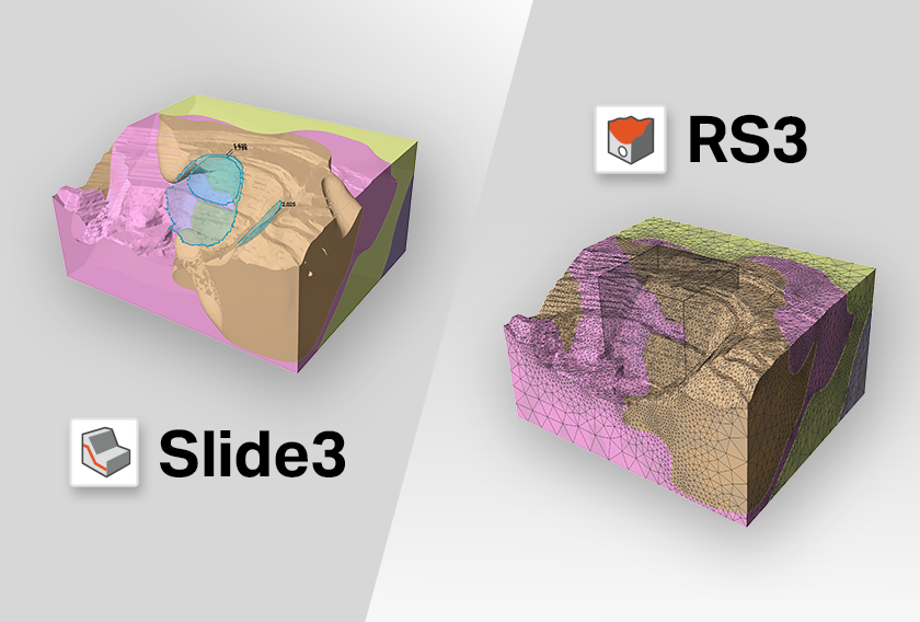
Slide3 Seamlessly Integrates With
The Latest Features
Grow With Our Learning Resources
article
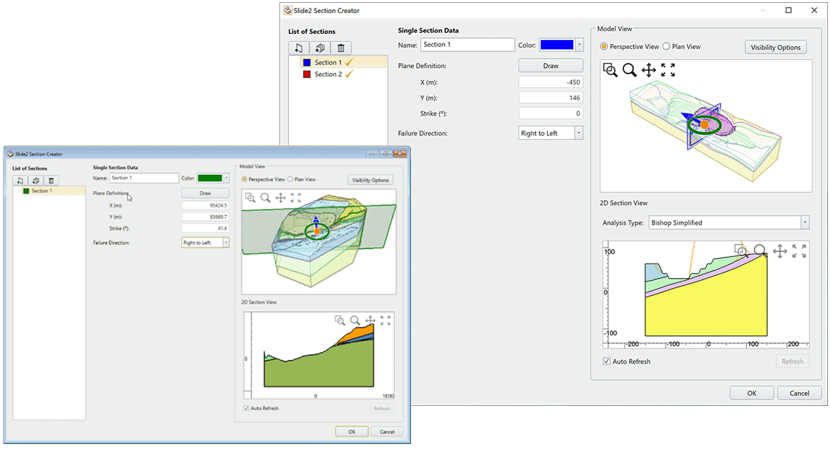
Slide3’s Latest Update Adds Block Model Projection, 2D Section Creation in Slide2, and More
article
See Slide3 and RS3’s Powerful New Features in Action Together
article
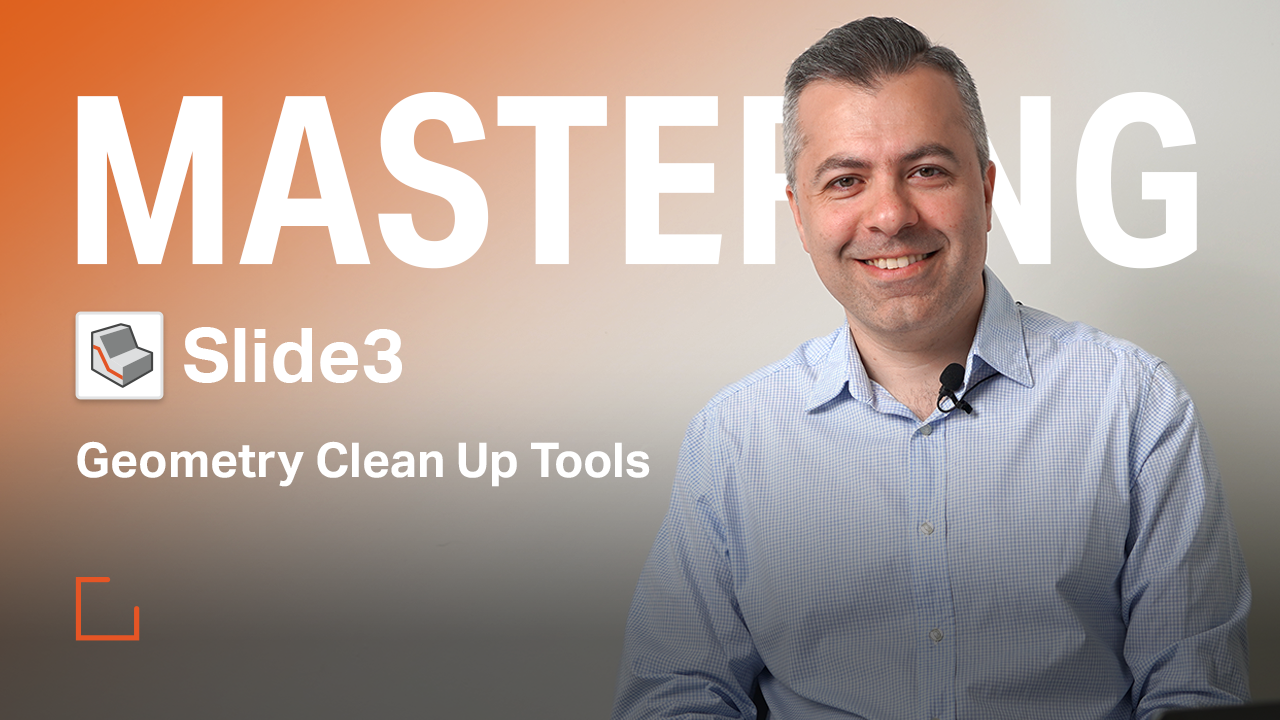
Mastering Slide3: Geometry Clean Up Tools
Slide3
Get Slide3 today. Choose your license below:
Personal Lease
- One Seat
- One User Device
- Cloud-Hosted Licensing
- Managed in the RocPortal
Flexible Lease
- Multiple Seats
- 5 User Devices Per Seat
- Cloud-Hosted Licensing
- Managed in the RocPortal
Have questions about our pricing structure? View Plans & Pricing FAQ